Purpose
The Purpose of this Post is to locate the Position of the Eruptions more Precisely by Merging with a base map!
Details
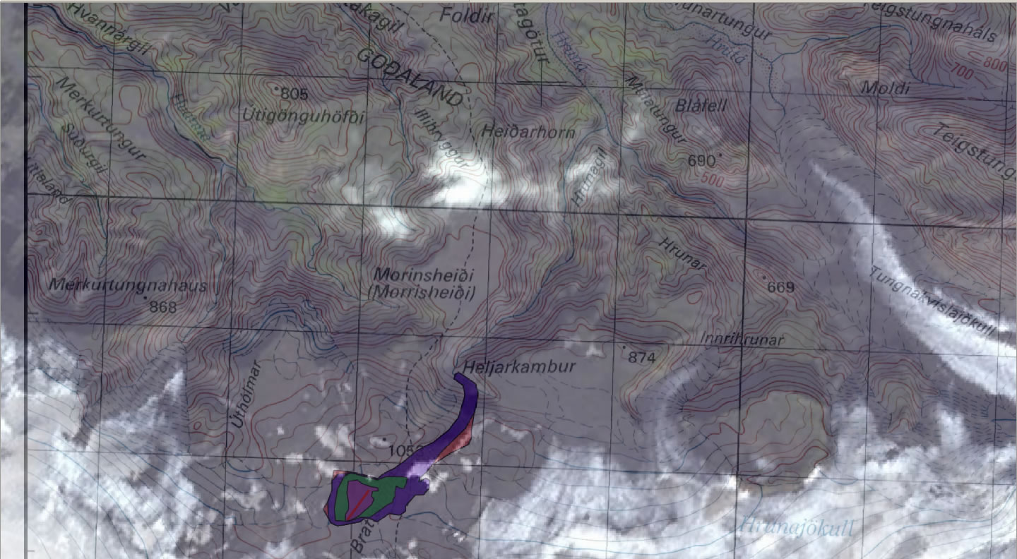
The DMA map(from National Land Survey Iceland), and the 2 Imageries (from Google and NASA) are Merged (Geo-rectified) to locate the fissure and the developments more precisely. The maps are Merged using GIS software with Non-earth coordinates (XY)!
The following snaps are the results.
Click on the Image for a Larger Map.
 | Fissure (Red Line) and New Formation(Scoria and Lava) 21 Mar 2010, 7:00 AM, 0.05 sq.km. 21 Mar 2010, 9:30 PM, 0.14 sq.km. 22 Mar 2010, 3:00 PM, 0.34 sq.km. 24 Mar 2010, 3:00 PM, 0.37 sq.km. Institute of Earth Sciences, University of Iceland Icelandic Coast Guard Map: DMA Map from National Land Survey of Iceland |
| Google Maps imagery |  | NASA Archives imagery |
 |  | |
 |  |
 | Develepment of the eruptions and new Formations are along the Orange line. Link for Google Imagery. LINK |
References
Thanks to Michael C.B. for his Comments and Help. Michael's log book can be reached here. Link
No comments:
Post a Comment